The Gulf Is About to Get Its First Hurricane Landfall in Two Years, and Florida Just Put 25 Counties on Alert
It was born in the warm, murky water of the Bay of Campeche on Wednesday morning, and by Friday it could be a full-blown Category 2 hurricane aimed straight at the northern Gulf Coast. Tropical Storm Isaias, the ninth named storm of the 2026 Atlantic season, is on a track that has forecasters using words like “dangerous” and “significant,” and it has already pushed Florida’s governor to declare a state of emergency for 25 counties. If it makes landfall as a hurricane, as expected, it will be the first to strike the United States since Milton did exactly the same thing, from exactly the same waters, in 2024.
Here is the honest version of this story: the forecast is serious enough to act on today, but it is not fully settled. The models are arguing about just how strong Isaias will be when it comes ashore. What follows is everything the National Hurricane Center and Florida officials are saying right now, plus what to do if you live anywhere from Louisiana to the Florida Panhandle. For more of our continuing storm coverage, see our US News section.
What the Hurricane Center is saying right now
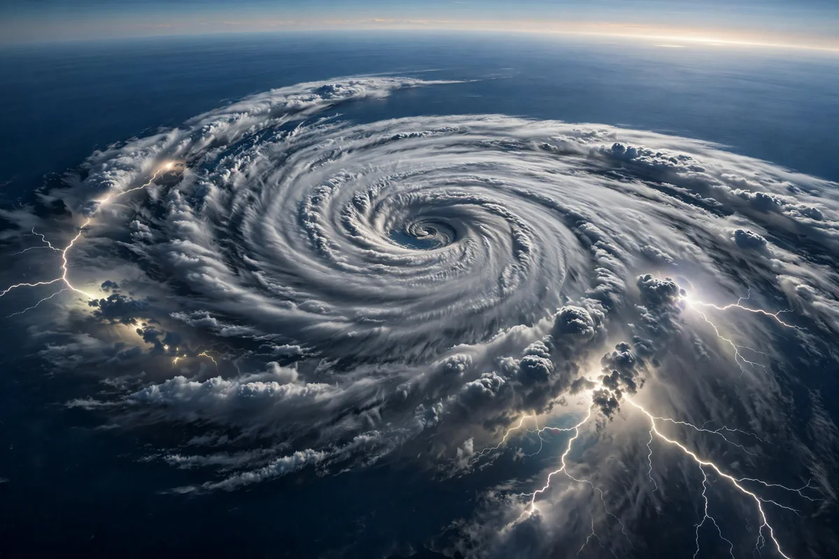
National Hurricane Center meteorologists upgraded Tropical Depression Nine to Tropical Storm Isaias early Wednesday, October 7. As of the Wednesday morning bulletin, the storm sits about 580 miles southwest of the mouth of the Mississippi River, packing maximum sustained winds near 40 mph and moving east-northeast at around 8 mph, according to USA Today.
The forecast ramps up fast from there. Forecasters expect Isaias to become a hurricane by Thursday, and to keep strengthening over the warm central Gulf. The current projection has it peaking as a strong Category 2 with 110 mph maximum sustained winds within 48 hours, just before it reaches the coast. To put that in perspective, a Category 3 storm begins at 111 mph. This storm is being forecast to arrive one single mile per hour of wind speed short of that line.
NHC hurricane specialist Philippe Papin wrote in a Wednesday morning forecast that it is “looking more likely that Isaias will be a significant hurricane when it reaches the coast.” Hurricane and storm surge watches are expected to be issued Wednesday for a portion of the northern Gulf Coast.
And here is the stat that tells you why meteorologists are paying such close attention: Isaias is the ninth named storm of the 2026 season, but if it lands as a hurricane, it will be the first hurricane of the entire season, and the first hurricane landfall in the United States since Milton in 2024. Typical seasons produce around seven hurricanes. This year, the season waited until October to deliver its first, and it is not messing around.
Where it is going, and when it gets there
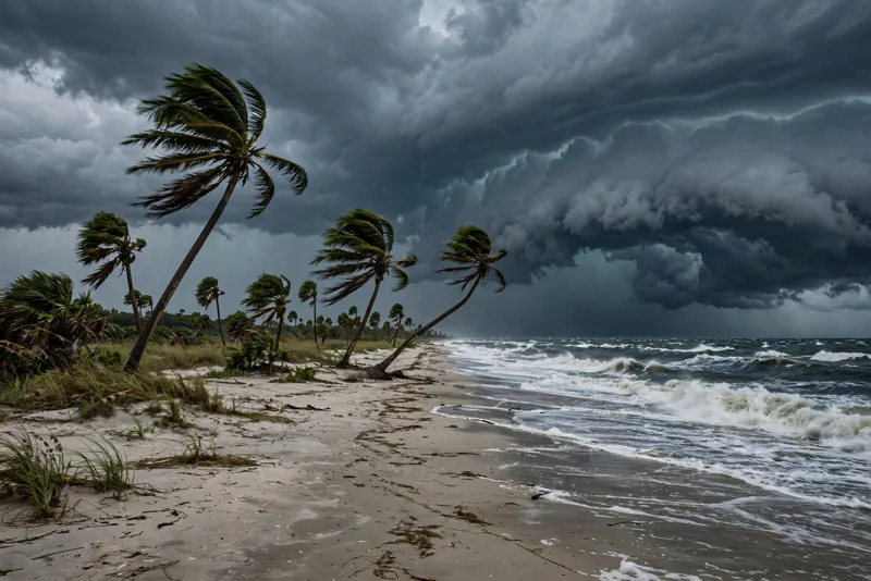
The track guidance is unusually clustered for a storm this far out, which is good news for forecasters and bad news for anyone in the crosshairs. On the forecast track, Isaias will pass to the north of Mexico’s Yucatan Peninsula on Thursday, then accelerate toward the Gulf Coast as it gets pulled into northbound steering currents. Friday is the day it approaches the coast, and landfall is currently estimated for late Friday or early Saturday.
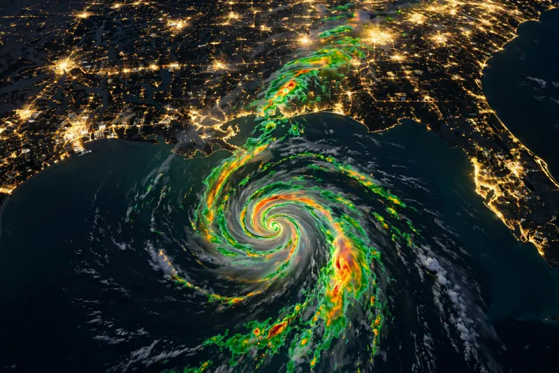
The landfall zone, as of Wednesday morning: between Biloxi, Mississippi and Panama City, Florida. That puts Louisiana, Alabama, Mississippi, and the Florida Panhandle in the direct line, with hurricane-force concerns and serious flooding. There is currently no model support for a track toward the Florida Peninsula or Texas.
The water is the bigger story than the wind. From Friday through the weekend, Isaias is expected to dump 3 to 6 inches of rain, with localized totals up to 10 inches, across the northern Gulf Coast from far southeastern Louisiana to the Florida Panhandle. Another 1 to 3 inches, with localized amounts up to 5, are possible across much of the Southeast as far north as the Tennessee Valley and the Carolinas. Forecasters say flash and urban flooding will be possible, and NOAA’s Weather Prediction Center has issued a Level 2 out of 4 flash flood risk for parts of the Southeast on Friday and Saturday.
AccuWeather projects some of the heaviest rain, 8 to 12 inches, across southern Alabama and southern Mississippi near where the storm makes landfall. Heavy rain could spread into the Ohio Valley as far north as Kentucky and West Virginia before moving eastward into the Carolinas and southern Virginia. Near the coast close to landfall, expect widespread wind gusts of 40 to 60 mph.
There are two compounding problems. The first is timing: the storm arrives during the next new moon king tide, which means storm surge will pile on top of already-elevated tides. The second is that parts of the Panhandle are already soaked. Apalachicola has seen 11.84 inches of rain recently, including 7.49 inches on October 5, which tied the one-day rainfall record for October. The ground there has nowhere left to put new water.
The argument inside the forecast: shear versus warm water
Now for the honest uncertainty. As Isaias races into the northern Gulf late Friday, it will plow straight into a zone of very strong upper-level winds, probably closer to 40 knots of wind shear rather than the more manageable 20. That shear acts like scissors on a tropical cyclone: it degrades the storm structure on final approach and weakens its strongest winds.
This is why some models are far less aggressive than the official forecast. A majority of the DeepMind ensemble members show landfall as a tropical storm, with very few members showing anything above a Category 1. Those odds may shift based on how the storm actually behaves.
On the other side of the argument is the fuel. The Bay of Campeche and the central Gulf are bathtub-warm in early October, and that heat is the raw energy hurricanes eat. The official NHC forecast splits the difference: weakening from shear on final approach, but still a “significant” hurricane when it reaches the coast.
Prepare for the official forecast. The ceiling is a high-end Category 2 on the doorstep Friday night. The floor is a ragged tropical storm that still dumps 6 to 10 inches of rain on already-saturated ground. Neither version is a storm you ignore.
Florida is not waiting around
Florida Governor Ron DeSantis moved first. Late Tuesday, he signed Executive Order 26-202 declaring a state of emergency for 25 counties, from westernmost Escambia through the Big Bend region, in preparation for the impacts of storm surge, dangerous winds, and flooding rainfall, the Palm Beach Post reported.
“This order ensures communities have the time and resources necessary to prepare for potential severe weather impacts to the Panhandle and Big Bend region of Florida,” DeSantis said, urging Floridians to have their plans in place, keep emergency supply kits fully stocked, and follow the state’s emergency management updates for preparedness information.
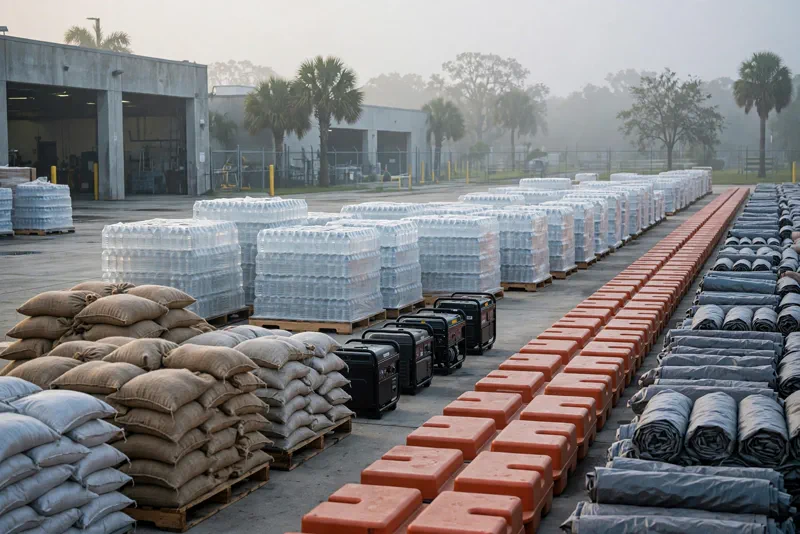
The state is already staging response resources in Tallahassee and the Santa Rosa area: sandbags, generators, fuel, flood barriers, pallets of boxed water, shelf-stable meals, flood buckets, tarps, and Tiger dams. That is the kind of list you see when officials are expecting roads underwater and neighborhoods without power.
If you are in the path, here is your move list
Wednesday is the day to finish preparations. Watches go up today, landfall comes Friday night.
- Know your zone. Evacuation orders follow storm surge zones, not the storm’s category. Check your county’s emergency page today and know your route.
- Stock the kit. Water, non-perishable food for several days, medications, batteries, flashlights, cash, and copies of insurance documents in a waterproof bag.
- Fuel and charge everything. Fill the tank, charge phones and power banks, and get the generator serviced. Run generators outside, never in a garage.
- Document your property. Photograph every room and the outside of your home. If you need to file a claim next week, today is when the evidence exists.
- Follow official channels. Florida’s emergency management account, your county’s alerts, and the National Hurricane Center beat every rumor on social media.
- Respect the water. Six to ten inches of rain on saturated ground means flash flooding. Never drive through flooded roads. It takes astonishingly little water to sweep a car away.
This storm has been a year in the making. The 2026 Atlantic season kept the Gulf quiet all summer, and now the season’s first hurricane appears to be coming in October, born in the same warm pocket of the Campeche that produced Milton. Whether Isaias arrives as a shredded tropical storm or a high-end Category 2, the rain, the surge, and the flooding are already in the forecast. Florida’s 25-county emergency declaration tells you how seriously officials are taking it. Take it that seriously too, and keep watching the forecast.